


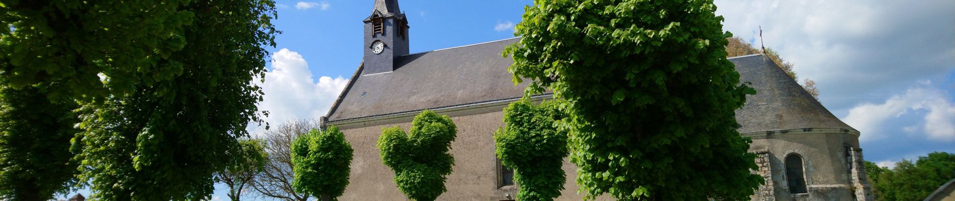
le Boulay - circuits Le pain sec et le Boulay avec variante le Sentier - 21.4km 180m 5h15 - 2022 05 05

Orcal37
User GUIDE
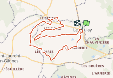

Length
21 km

Max alt
172 m

Uphill gradient
181 m
Km-Effort
24 km

Min alt
119 m

Downhill gradient
181 m
Boucle
Yes
Creation date :
2022-05-05 09:30:44.075
Updated on :
2022-05-06 09:32:42.413
5h15
Difficulty : Easy

FREE GPS app for hiking
 SityTrail
IGN / Geographical institutes
SityTrail Plus
The world is yours!
About
Trail Walking of 21 km to be discovered at Centre-Loire Valley, Indre-et-Loire, Le Boulay. This trail is proposed by Orcal37.
Description
le Boulay - circuits Le pain sec et le Boulay avec variante le Sentier - balisage bleu jaune puis bleu puis le Sentier puis retour au balisage jaune - 21.4km 180m 5h15 - 2022 05 05
Photos


Positioning
Country:
France
Region :
Centre-Loire Valley
Department/Province :
Indre-et-Loire
Municipality :
Le Boulay
Location:
Unknown
Start:(Dec)
Start:(UTM)
338921 ; 5274827 (31T) N.
Comments